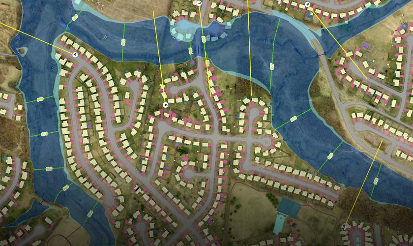
GRW's aerial mapping services will deliver the aerial imagery you need for your next project. Our professionals have completed aerial image acquisition in all 48 contiguous states. Our projects have ranged from international federal contracts, to regional, state, and local clients.
We have the resources to complete multiple ongoing aerial projects. Our skilled pilots and sensor operators ensure that your project is delivered according to your specifications and in a timely manner. We are committed to providing the most affordable and efficient way to instantly retrieve and analyze your data.
From oblique and vertical acquisition, to aerotriangulation and orthoimagery, GRW is able to provide comprehensive aerial mapping services, using the latest software and equipement. Specifically, we can offer assistance with airport obstruction mapping, floodplain mapping, photogrammetric mapping, and emergency response aerial mapping (including the 2018 hurricanes).
With the right tools, the world is at your fingertips. From a 3-D map of your city, to the intricate location of a leaking underground pipe - let GRW be your go-to geospatial services consultant.


 Frankfort Capitol Building, Frankfort, KY