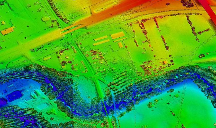
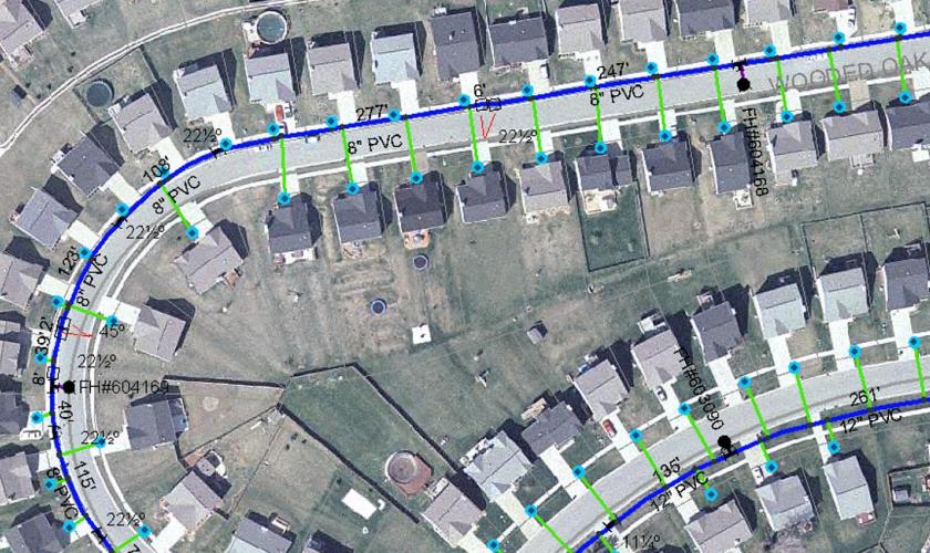
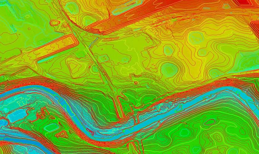
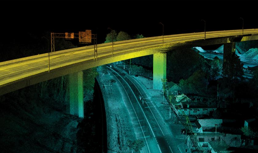
When you're searching for a way to fulfill your geospatial needs -- land surveying, airport obstruction analysis, LiDAR data collection (airborne, mobile, etc.), GIS, aerial mapping, to name a few -- GRW is here to help.
Geospatial services help pinpoint where things are (e.g., buildings, trees, bridges, rivers, etc.) – on or above the ground. We locate and collect this data – and then help you see how they relate to one another by integrating and managing it.
GRW has a robust array of tools and in-house licensed professionals with the experience to locate and collect this data in ways that ensure accuracy, allow multiple processing methods, and provide data tailored to the requirements of your geospatial projects.
Our geospatial professionals will help you through each step of your project’s needs. Contact us today.


 LiDAR Combined Points, Marion County, WV


