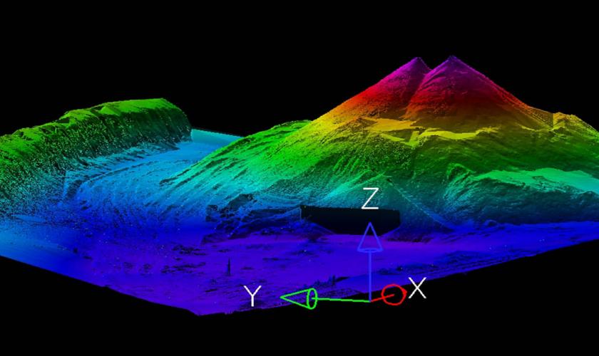
GRW offers a wide variety of remote sensing services, including aerial LiDAR, stationary terrestrial LiDAR scanning (STLS), and mobile terrestrial LiDAR scanning (MTLS). Whether you have a multi-state project, small corridor, or miles of highways, GRW uses the latest resources to capture data accurately and efficiently.
LiDAR utilizes light to measure and map surface points. While aerial LiDAR may be acquired from a fixed wing or rotary aircraft, stationary terrestrial scanning involves ground-based high definition survey equipment that rotates 360 degrees to collect data. Similarly, mobile mapping collects LiDAR data with equipment specially mounted to a vehicle.
GRW's LiDAR specialists are adept at fusing a wide range of geospatial technologies to capture elevation and orthoimagery data. Our clients have utilized LiDAR data on a wide variety of projects, including transportation corridor studies, floodplain mapping, USGS elevation mapping, FEMA validation studies, utility mapping, architectural analysis, and construction surveys.


 Stationary Terrestrial LiDAR Scan, Coal Stockpile